IT progress in the last decades provided Web services which are the foundation of OGC Web Services. OGC Web Service standards and associated XML encoding standards, i.e., the OGC (and ISO) Geography Markup Language (GML), will probably be with us for a very long time, but the underlying TCP/IP and HTTP standards also provide a platform for other technology approaches not bounded by the established Web services paradigm.
The OGC Observations and Measurements (O&M) Standard v2.0 (also published as ISO/DIS 19156) provides, uniquely, a universal (but complex) conceptual data model for virtually any type of physical observation or measurement. OGC provided a GML conformant XML encoding known as OMXML, which is based on the O&M conceptual model. OMXML is used primarily in the context of services that implement the OGC Sensor Observation Service Interface Standard (SOS) 2.0.
The OGC Observations and Measurements – JSON Implementation Discussion Paper specifies a JSON
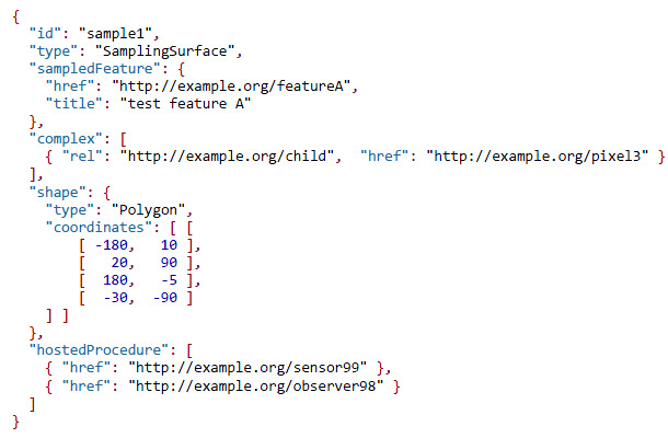
JSON Example (Source: https://portal.opengeospatial.org/files/64910)
implementation for the O&M conceptual model. The JSON implementation, known as OM-JSON, provides an additional encoding that is more easily integrated with modern web applications, including much of Citizen Science and the Internet of Things. OM-JSON defines JSON schemas for observations and for features involved in sampling when making observations. These provide document models for the exchange of information describing observation acts and their results, both within and between different scientific and technical communities.
The OGC Observations and Measurements – JSON implementation Discussion Paper is available for review and comment at www.opengeospatial.org/standards/requests/146. Comments are due by 27 February, 2016.